




















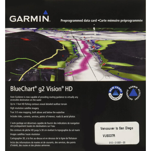
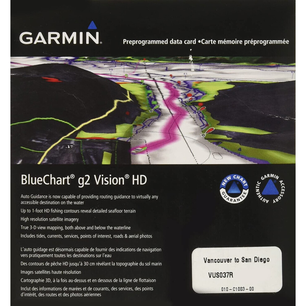
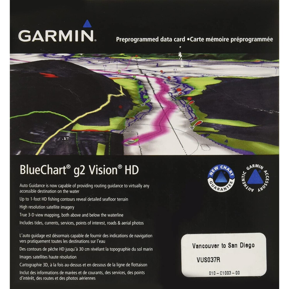
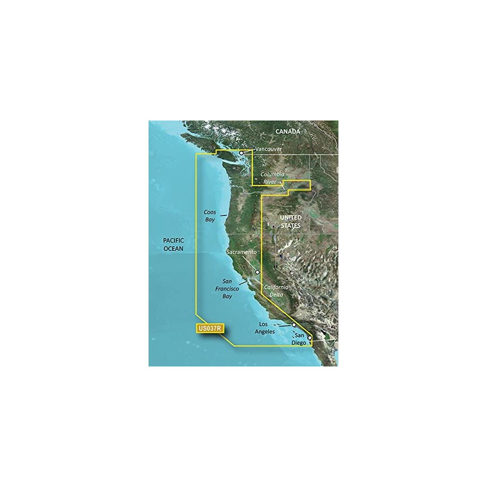
Garmin BlueChart g2 Vision Vancouver/San Diego Saltwater Map microSD Card
Hurry only 1 left
Smart shoppers OnBuy it!
- Earn Cashback on every purchase – spend it instantly on your next order
- Free delivery – on millions of items across the site
- Customers love us – 135,000 Trustpilot reviews and an 'Excellent' rating
Interest-free payment options available


See full product description & details
Delivery: Standard (Free) | Wed 14th - Fri 16th Oct
Returns: 30 days
180-day payment protection
You might also like


Summary
- Realistic navigation features showing everything from shaded depth contours and coastlines to spot soundings, navaids, port plans, wrecks, obstructions, intertidal zones, restricted areas, IALA symbols and more
- Smooth display presentation including seamless transitioning between zoom levels and more continuity across chart boundaries
- Safety shading allows user to enable contour shading for all depth contours shallower than user-defined safe depth
- Fishing charts to help scope out bottom contours and depth soundings with less visual clutter on the display.
- Includes high-resolution satellite imagery, aerial reference photography, MarinerEye 3-D view, FishEye 3-D view and Auto Guidance technology. Also compatible with Garmin's HomePort software.
Garmin BlueChart g2 Vision Vancouver/San Diego Saltwater Map microSD Card Description
Package Type:Standard PackagingGet a fresh perspective when you take to the water with BlueChart g2 Vision. With BlueChart g2 Vision data, you'll get detailed marine cartography that provides convenient viewing of nautical content and other premium features. BlueChart g2 Vision allows you to see your vessel's precise, on-chart position in relation to naviads, coastal features, anchorages, obstructions, waterways, restricted areas and more. You will also have access to detailed mapping capabilities that include Safety Shading, Fishing Charts, smooth data transition between zoom levels, harmonious transition across chart borders, and reduction of chart discontinuities. Premium features include 3-D perspective above and below the waterline, Auto Guidance, high-resolution imagery, and real picture aerial photos of ports, harbors, marinas, waterways, landmarks and other points of interest. It's the most realistic mapping display Garmin has ever offered.
Details
| OPC | P6DTWFB |
|---|---|
| Brand |

Product Images

Product Data
additional_information
| Product_Dimensions | 8 x 6 x 1 inches |
|---|---|
| Item_Weight | 1.6 ounces |
| ASIN | B00283NR34 |
| Item_model_number | 010-C1003-00 |
| Best_Sellers_Rank | #295,009 in Electronics (See Top 100 in Electronics) #354 in Marine GPS Units & Chartplotters |
| Is_Discontinued_By_Manufacturer | No |
| Other_display_features | Wireless |
| Manufacturer | Garmin |
| Date_First_Available | October 1, 2001 |
Disclaimer: The information below is provided by various external sources and should be used as a guide only.
See your vessel’s precise, on-chart position in relation to navaids, coastal features and restricted areas with premium features found in this detailed marine mapping data. Includes all of the features of our BlueChart® g2 product, plus 3-D perspective above and below the waterline, Auto Guidance, high-resolution imagery, and aerial photos of ports, harbors, marinas and landmarks.
- Shaded depth contours, coastlines, spot soundings, navaids, port plans, wrecks, obstructions, intertidal zones, restricted areas and IALA symbols.
- Seamless transitions between zoom levels and more continuity across chart boundaries.
- High resolution satellite imagery for a realistic view of the land and water.
- Aerial photos of ports, harbors, marinas, waterways, navigational landmarks and other POIs.
- Auto Guidance technology searches chart data to suggest the best passage to a destination.
- MarinerEye view 3-D perspective for a quick, easy position fix.
- FishEye view 3-D perspective for an underwater view of the sea floor.
- Safety Shading* enables contour shading for all depth contours shallower than your defined safe depths.
- Fishing Charts* to scope out bottom contours and depth soundings with less visual clutter on the display.
- Plan and organize routes from your computer with HomePort™ (sold separately).
Coverage
Detailed coverage of the west coast of North America from Vancouver, Can. to the U.S. border with Mexico. Detailed coverage includes Puget Sound, San Francisco Bay, San Diego Bay, the Columbia and Snake Rivers and the California Delta to Sacramento and Stockton.
See your vessel’s precise, on-chart position in relation to navaids, coastal features and restricted areas with premium features found in this detailed marine mapping data. Includes all of the features of our BlueChart® g2 product, plus 3-D perspective above and below the waterline, Auto Guidance, high-resolution imagery, and aerial photos of ports, harbors, marinas and landmarks.
- Shaded depth contours, coastlines, spot soundings, navaids, port plans, wrecks, obstructions, intertidal zones, restricted areas and IALA symbols.
- Seamless transitions between zoom levels and more continuity across chart boundaries.
- High resolution satellite imagery for a realistic view of the land and water.
- Aerial photos of ports, harbors, marinas, waterways, navigational landmarks and other POIs.
- Auto Guidance technology searches chart data to suggest the best passage to a destination.
- MarinerEye view 3-D perspective for a quick, easy position fix.
- FishEye view 3-D perspective for an underwater view of the sea floor.
- Safety Shading* enables contour shading for all depth contours shallower than your defined safe depths.
- Fishing Charts* to scope out bottom contours and depth soundings with less visual clutter on the display.
- Plan and organize routes from your computer with HomePort™ (sold separately).
Coverage
Detailed coverage of the west coast of North America from Vancouver, Can. to the U.S. border with Mexico. Detailed coverage includes Puget Sound, San Francisco Bay, San Diego Bay, the Columbia and Snake Rivers and the California Delta to Sacramento and Stockton.
Alternative names:
- Garmin 010-C1003-00 navigator map Road map
- Garmin 010-C1003-00 navigator map Road map
Detailed Product Information
Features
| Type | Road map |
|---|---|
| Compatibility | echoMAP™ 42dv echoMAP™ 45dv echoMAP™ 50dv echoMAP™ 50s echoMAP™ 52dv echoMAP™ 55dv echoMAP™ 70dv echoMAP™ 70s echoMAP™ 72sv echoMAP™ 75sv echoMAP™ 92sv echoMAP™ 95sv GPSMAP® 1020xs GPSMAP® 4008 GPSMAP® 4010 GPSMAP® 4012 GPSMAP® 420/420s GPSMAP® 450/450s GPSMAP® 451 GPSMAP® 451s GPSMAP® 5008 GPSMAP® 5012 GPSMAP® 5015 GPSMAP® 521 GPSMAP® 521s GPSMAP® 527 GPSMAP® 527xs GPSMAP® 550/550s GPSMAP® 551 GPSMAP® 551s GPSMAP® 555/555s GPSMAP® 556 GPSMAP® 556s GPSMAP® 557 GPSMAP® 557xs GPSMAP® 620 GPSMAP® 720 GPSMAP® 721 GPSMAP® 721xs GPSMAP® 7407 GPSMAP® 7407xsv GPSMAP® 7408 GPSMAP® 7408xsv GPSMAP® 7410 GPSMAP® 7410xsv GPSMAP® 7412 GPSMAP® 7412xsv GPSMAP® 7416 GPSMAP® 7416xsv GPSMAP® 750 GPSMAP® 750s GPSMAP® 751 GPSMAP® 751xs GPSMAP® 8008 MFD GPSMAP® 8012 MFD GPSMAP® 8015 MFD GPSMAP® 820 GPSMAP® 820xs GPSMAP® 8500 Black Box GPSMAP® 8530 Black Box Monterra™ Volvo Penta Glass Cockpit System |
| Geographic coverage | Vancouver - San Diego |
Customers also buy
Compare Sellers for Garmin BlueChart g2 Vision Vancouver/San Diego Saltwater Map microSD Card
- New from £529.99
| Seller | Ratings | Warranty | Returns | Price | Delivery | Total | Quantity |
|---|---|---|---|---|---|---|---|
|
Dispatched from:

|
(49 reviews) | - |
30 Days
Free Returns No
|
£529.99
|
+Free Delivery
Est. Delivery:
14th-16th Oct
|
£529.99
|
Earn as you shop with instant Cashback on everything.
No catch, no cost
- Paid into your OnBuy account
- Spend it on your next purchase
- Save it or withdraw it
Become a Cashback VIP
Just 1 purchase unlocks bigger deals & rates